SPUTNIK-2 ORBIT SIMULATIONS - Position Relative to Key Events by: Aaron George Bailey |
| Starting on November 3rd, 2007, I ran the STSPLUS Satellite Tracking Program to simulate Sputnik-2s orbital position in real time in order to closely mimic the actual flight in 1957. Attached are screen photos showing Sputnik-2s location relative to key events. I used STSPLUS Tracking Software developed by the late David H. Ransom, Jr. from Pacific Palisades, California. Driving STSPLUS is TLE orbital information by Sven Grahn in Stockholm, Sweden. - see - Sven's Space Place + Tracking + Antique Element Sets |
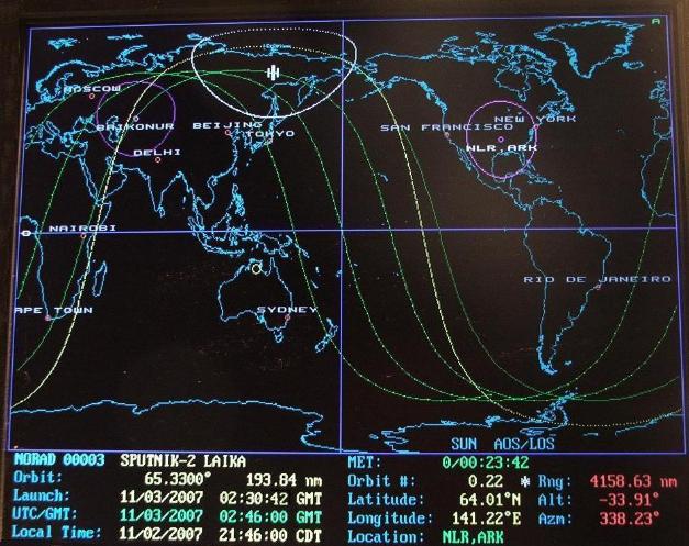
| (Above) - November 3rd, 1957, Liftoff of Sputnik-2 from Baikonur at 02:30:42 GMT and orbital insertion as it passes over East Asia. Tral-D biomedical telemetry was timed "ON" during the launch phase. |
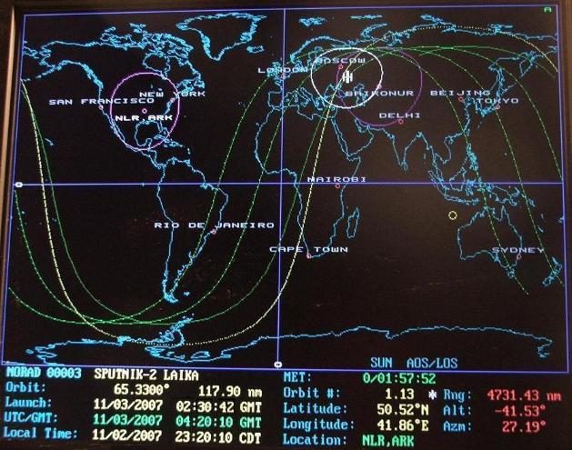
| Above Sputnik-2 is shown at the point of Perigee, 117.90 nautical miles, its closest approach to Earth. With one full orbit complete, Sputnik-2 is within line-of-sight radio range of Russian Tracking Stations as the VHF Tral-D Telemetry radios back data on Laika's vitals. Useful biomedical data was also received on the upcoming orbit two, whose predicted orbital path can be seen to the left of the active orbit. Timed ON for only 15 minutes per orbit, the Tral-D transmitter was power hungry and placed a severe demand on the battery. The Tral-D frequency wasn't made public and it is unlikely that it was heard by radio amateurs. Well publicized, the Sputnik-2 shortwave beacon was heard worldwide by listeners on the frequency of 20.005 megacycles and this beeping signal is the historical transmission associated with Sputnik-2. |
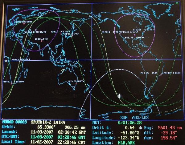
| Above, half a world away from the Baikonur launch site, Sputnik-2 is seen at Apogee, 906.25 nm, its maximum distance from Earth, which occurred in the Southern Hemisphere. The orbit was highly elliptical. |
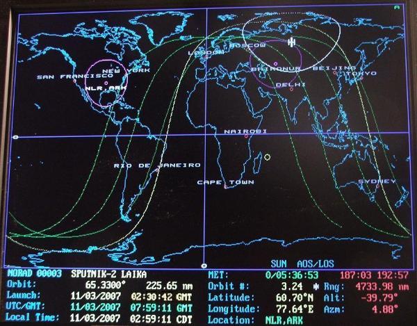
| (Above) - During orbit 3, data from Laika became garbled. |
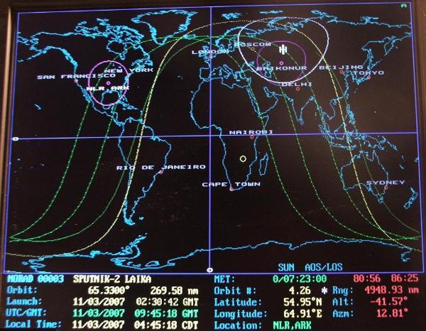
| On orbit 4, no data could be received from Laika. |